Unnamed resource
URL: https://docserver.gesdisc.eosdis.nasa.gov/public/project/Images/MAM06S0_002.png
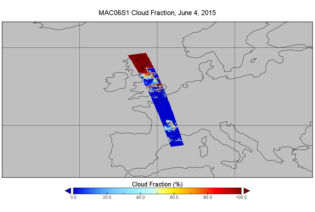
Dataset description:
This is the MODIS/Aqua subset along MLS field of view track. The goal of the subset is to select and return MODIS data that are within +-100 km across the MLS track. I.e. the resultant...
Source: MODIS/Aqua Clouds 1km and 5km 5-Min L2 Swath Subset along MLS V002 (MAM06S0) at GES DISC
Additional Information
| Field | Value |
|---|---|
| Data last updated | March 10, 2026 |
| Metadata last updated | March 10, 2026 |
| Created | March 10, 2026 |
| Format | PNG |
| License | other-license-specified |
| Datastore active | False |
| Has views | True |
| Id | 045d2b47-8052-4565-94e0-025f0575116d |
| Mimetype | image/png |
| Package id | 37edc719-b009-44f7-bd5e-4a800038edb2 |
| Position | 0 |
| State | active |
| Tracking summary | {'total': 0, 'recent': 0} |