Unnamed resource
Dataset description:
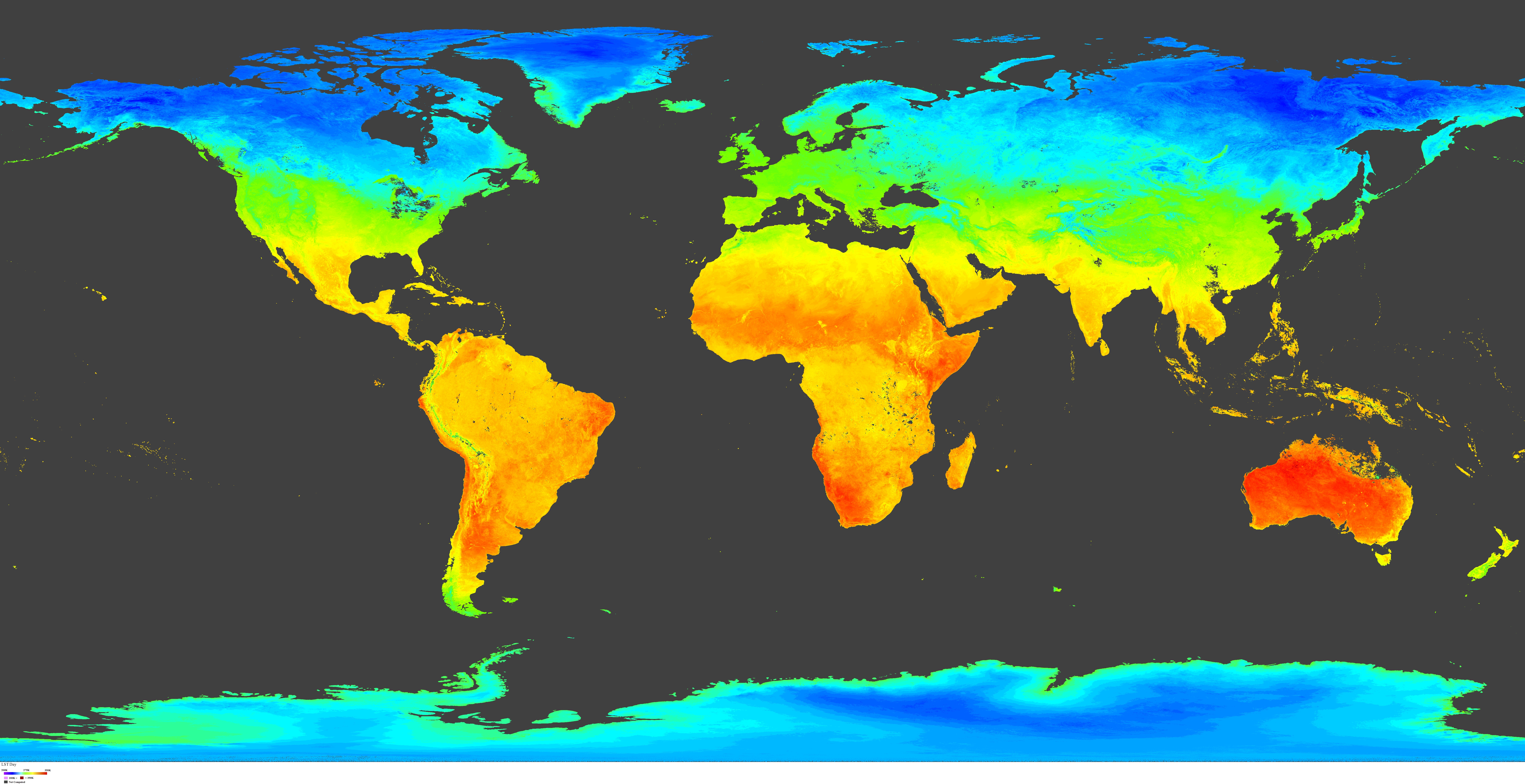
The NOAA-21 Visible Infrared Imaging Radiometer Suite (VIIRS) Land Surface Temperature and Emissivity (LST&E) 8-day Climate Modeling Grid Version 2 product (VJ221C2) combines the...
Source: VIIRS/JPSS2 Land Surface Temperature/Emissivity 8-Day L3 Global 0.05Deg CMG V002
Additional Information
| Field | Value |
|---|---|
| Data last updated | unknown |
| Metadata last updated | June 3, 2026 |
| Created | unknown |
| Format | JPEG |
| License | other-license-specified |
| Created | 5 months ago |
| Media type | image/jpeg |
| Datastore active | False |
| Has views | True |
| Id | 362c4089-f22c-426c-80bc-f6c4307fc92d |
| Package id | 07ae8d0c-316c-4390-92a5-e0e9b79d2e7d |
| Position | 6 |
| State | active |
| Tracking summary | {'total': 0, 'recent': 0} |