Unnamed resource
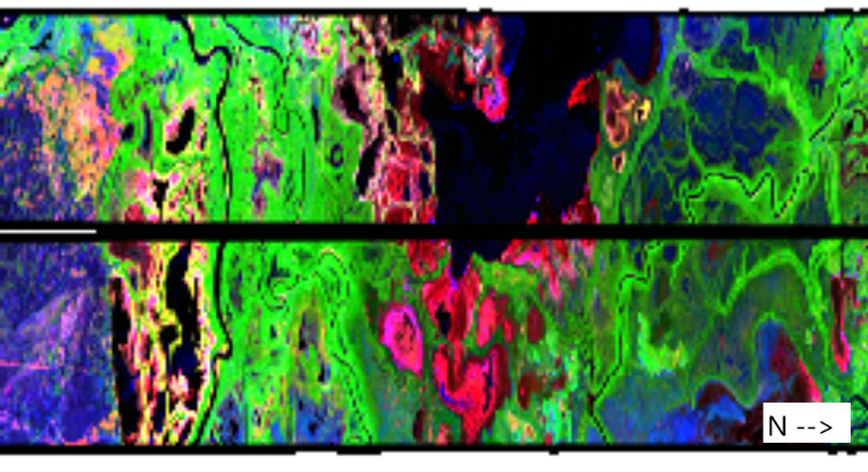
URL: https://daac.ornl.gov/ABOVE/guides/UAVSAR_Wetland_Peace-Athabasca_Fig1.png
Dataset description:
This dataset holds UAVSAR imagery products for the Peace-Athabasca Delta region of Canada. UAVSAR data were collected for two flight lines on five dates from 2017 to 2022 and processed to...
Source: UAVSAR Polarimetric Products for ABoVE Wetland Sites, Peace-Athabasca Delta, Canada
Additional Information
| Field | Value |
|---|---|
| Data last updated | June 3, 2026 |
| Metadata last updated | June 3, 2026 |
| Created | June 3, 2026 |
| Format | PNG |
| License | other-license-specified |
| Datastore active | False |
| Has views | True |
| Id | 0dc4535e-2325-404b-ba6f-9c43ec2b5da9 |
| Mimetype | image/png |
| Package id | c481ed34-d1af-4afc-aedd-598d2273dd48 |
| Position | 3 |
| State | active |
| Tracking summary | {'total': 0, 'recent': 0} |