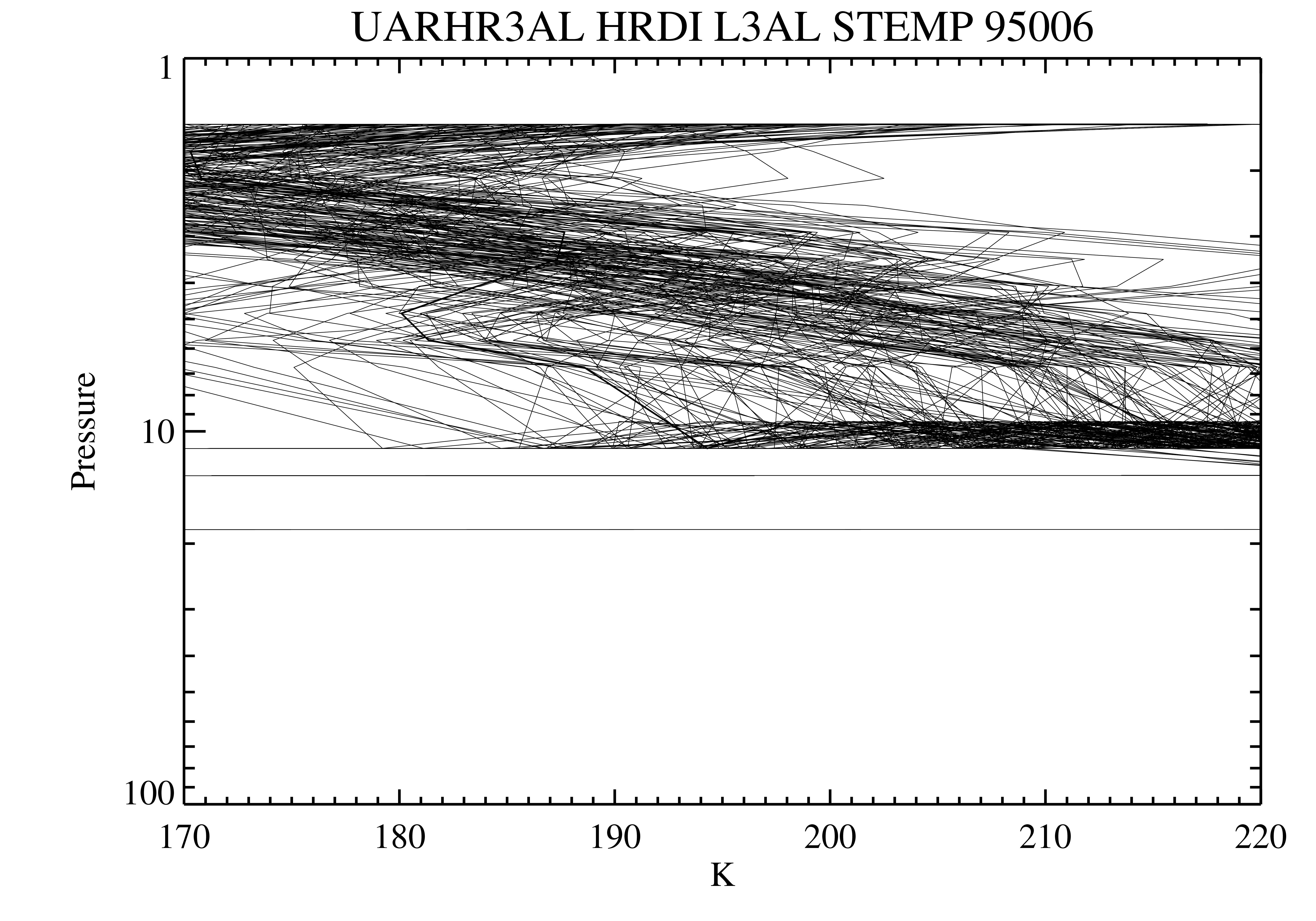
Get a related visualization
URL: https://docserver.gesdisc.eosdis.nasa.gov/public/project/Images/UARHR3AL_011.png
Dataset description:
The High Resolution Doppler Imager (HRDI) Level 3AL data product consists of daily, 4 degree increment latitude-ordered vertical profiles of meridional and zonal wind components,...
Source: UARS High Resolution Doppler Imager (HRDI) Level 3AL V011 (UARHR3AL) at GES DISC
Additional Information
| Field | Value |
|---|---|
| Data last updated | March 31, 2025 |
| Metadata last updated | March 31, 2025 |
| Created | March 31, 2025 |
| Format | PNG |
| License | License not specified |
| Datastore active | False |
| Has views | True |
| Id | ea93ea21-ec53-481c-8ddc-249773d57c38 |
| Mimetype | image/png |
| Package id | f6002ba1-bb59-4a75-a53e-f90c2583527c |
| Position | 0 |
| State | active |
| Tracking summary | {'total': 0, 'recent': 0} |