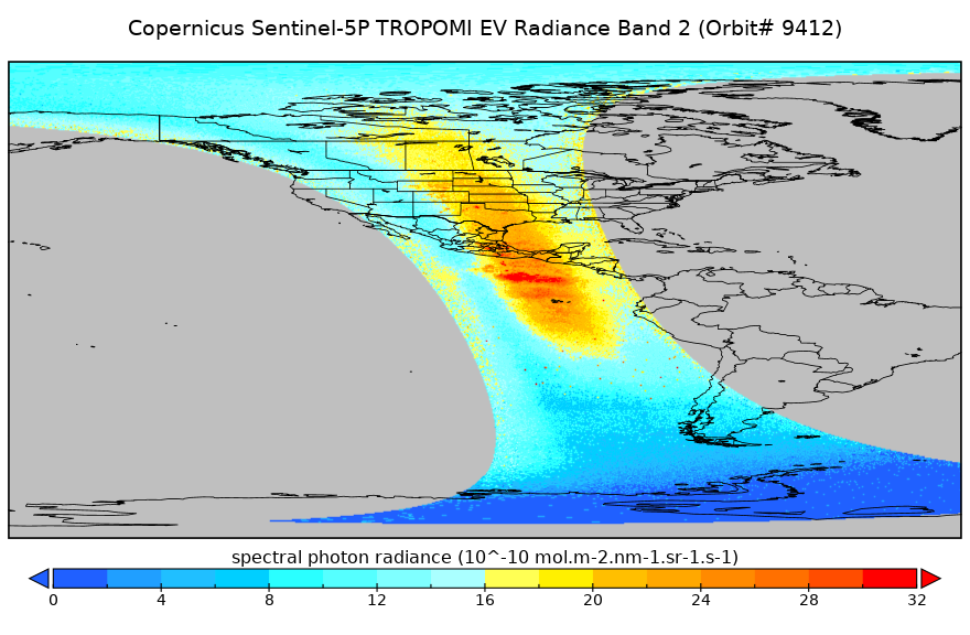
Get a related visualization
URL: https://docserver.gesdisc.eosdis.nasa.gov/public/project/Images/S5P_OFFL_L1B_RA_BD2_HiR_1.png
Dataset description:
Starting from August 6th in 2019, Sentinel-5P TROPOMI along-track high spatial resolution (~5.5km at nadir) has been implemented. For data before August 6th of 2019, please check...
Additional Information
| Field | Value |
|---|---|
| Data last updated | March 31, 2025 |
| Metadata last updated | March 31, 2025 |
| Created | March 31, 2025 |
| Format | PNG |
| License | License not specified |
| Datastore active | False |
| Has views | True |
| Id | 82f4b373-53c6-4cef-adbc-2cffe65a04fa |
| Mimetype | image/png |
| Package id | 02fb534b-8bd0-4b5c-bd8b-1cdaac97cece |
| Position | 1 |
| State | active |
| Tracking summary | {'total': 0, 'recent': 0} |