Unnamed resource
URL: https://daac.ornl.gov/VEGETATION/guides/KRFA_browse.jpg
Dataset description:
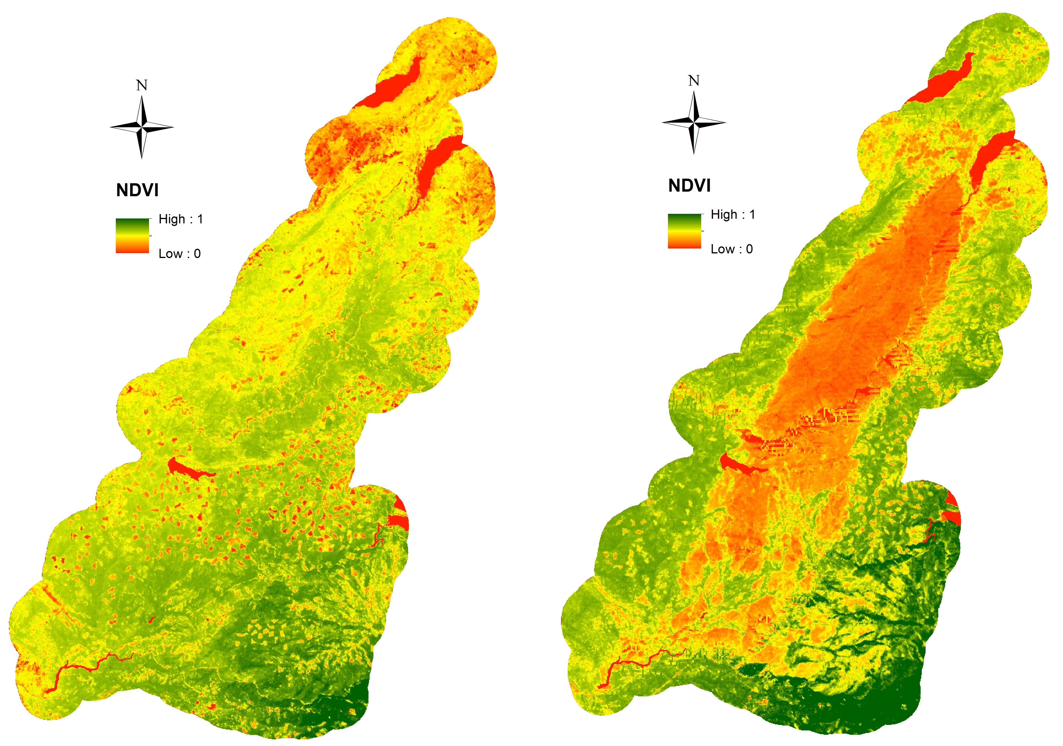
This data set provides high-resolution surface reflectance, thermal imagery, burn severity metrics, and LiDAR-derived structural measures of forested areas in the Sierra Nevada Mountains,...
Source: Remote Sensing Data Before and After California Rim and King Forest Fires, 2010-2015
There are no views created for this resource yet.
Additional Information
| Field | Value |
|---|---|
| Data last updated | unknown |
| Metadata last updated | March 10, 2026 |
| Created | unknown |
| Format | JPEG |
| License | other-license-specified |
| Created | 1 year ago |
| Media type | image/jpeg |
| Datastore active | False |
| Has views | False |
| Id | 07f446de-1025-4521-a481-541cf46ca4c0 |
| Package id | d60f4f08-e2cb-40be-8bb5-90ab31c8e9c5 |
| Position | 2 |
| State | active |
| Tracking summary | {'total': 4, 'recent': 1} |