Get a related visualization
URL: https://docserver.gesdisc.eosdis.nasa.gov/public/project/Images/MAM05S0_002.png
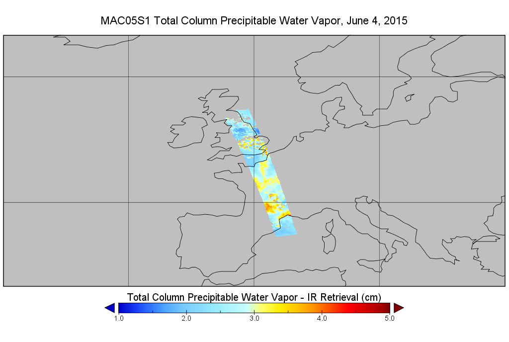
Dataset description:
This is the MODIS/Aqua subset along MLS field of view track. The goal of the subset is to select and return MODIS data that are within +-100 km across the MLS track. I.e. the resultant...
Additional Information
| Field | Value |
|---|---|
| Data last updated | March 31, 2025 |
| Metadata last updated | March 31, 2025 |
| Created | March 31, 2025 |
| Format | PNG |
| License | License not specified |
| Datastore active | False |
| Has views | True |
| Id | 98eecc19-84ca-4781-be57-3088bbed589a |
| Mimetype | image/png |
| Package id | 762a92ee-d9fc-4eb6-b56a-89f820d9fe27 |
| Position | 0 |
| State | active |