Unnamed resource
Dataset description:
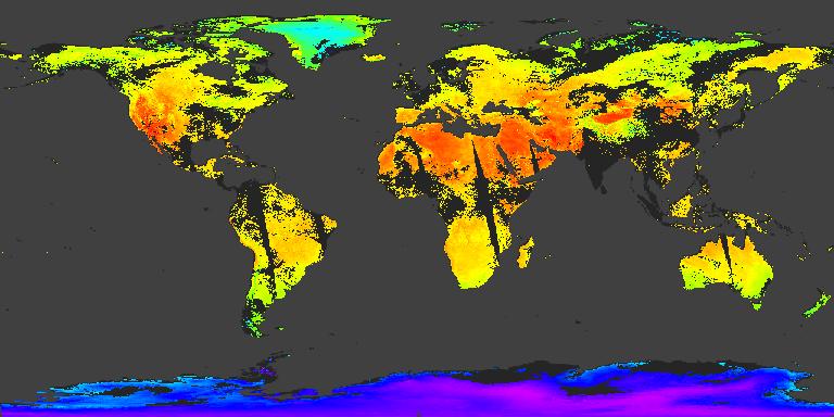
The MYD21 Version 6.1 Land Surface Temperature and Emissivity (LST&E) swath data product is produced daily in five minute temporal increments of satellite acquisition. The swath is...
Source: MODIS/Aqua Land Surface Temperature/3-Band Emissivity 5-Min L2 1km V061
There are no views created for this resource yet.
Additional Information
| Field | Value |
|---|---|
| Data last updated | August 21, 2025 |
| Metadata last updated | March 10, 2026 |
| Created | August 21, 2025 |
| Format | JPEG |
| License | other-license-specified |
| Datastore active | False |
| Has views | False |
| Id | 434ccf2e-8bfb-4247-89d1-023f2d8dd7b7 |
| Mimetype | image/jpeg |
| Package id | 5a8cdb5f-2651-47b8-90d8-44c197e0e62b |
| Position | 15 |
| State | active |
| Tracking summary | {'total': 0, 'recent': 0} |