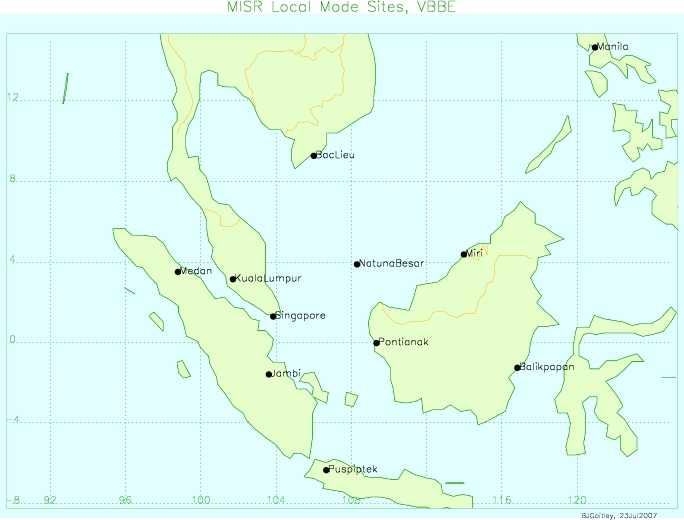
Unnamed resource
URL: https://asdc.larc.nasa.gov/documents/misr/gallery/field_campaigns/VBBE/local_mode_vbbe.jpg
Dataset description:
VBEMI2LS_002 is the Multi-angle Imaging SpectroRadiometer (MISR) Level 2 Land Surface Product subset for the VBBE region version 2. It contains information on land directional reflectance...
Source: MISR Level 2 Land Surface Product subset for the VBBE region V002
There are no views created for this resource yet.
Additional Information
| Field | Value |
|---|---|
| Data last updated | unknown |
| Metadata last updated | March 10, 2026 |
| Created | unknown |
| Format | JPEG |
| License | other-license-specified |
| Created | 1 year ago |
| Media type | image/jpeg |
| Datastore active | False |
| Has views | False |
| Id | b9fd9a2f-50a1-41bb-b238-e2ac88fc8a65 |
| Package id | 336759c0-9134-42c5-b112-9d4776d437de |
| Position | 4 |
| State | active |
| Tracking summary | {'total': 0, 'recent': 0} |