Unnamed resource
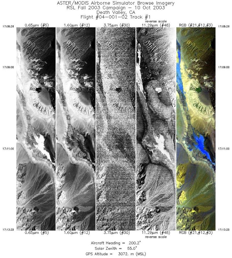
URL: https://daac.ornl.gov/MASTER/guides/MASTER_RSL_October_2003_Fig1.jpg
Dataset description:
This dataset includes Level 1B (L1B) data products from the MODIS/ASTER Airborne Simulator (MASTER) instrument. The spectral data were collected during six flights aboard a DOE B-200...
Source: MASTER: Geological fault mapping, California-Nevada, October, 2003
There are no views created for this resource yet.
Additional Information
| Field | Value |
|---|---|
| Data last updated | August 21, 2025 |
| Metadata last updated | March 10, 2026 |
| Created | August 21, 2025 |
| Format | JPEG |
| License | other-license-specified |
| Datastore active | False |
| Has views | False |
| Id | 97fc21e3-582b-42f9-8469-3a3bc4de4190 |
| Mimetype | image/jpeg |
| Package id | d532202c-fb41-4e80-80be-dd4b0e831b55 |
| Position | 2 |
| State | active |
| Tracking summary | {'total': 0, 'recent': 0} |