Unnamed resource
URL: https://daac.ornl.gov/VEGETATION/guides/Forested_Areas_Para_Brazil_Fig1.png
Dataset description:
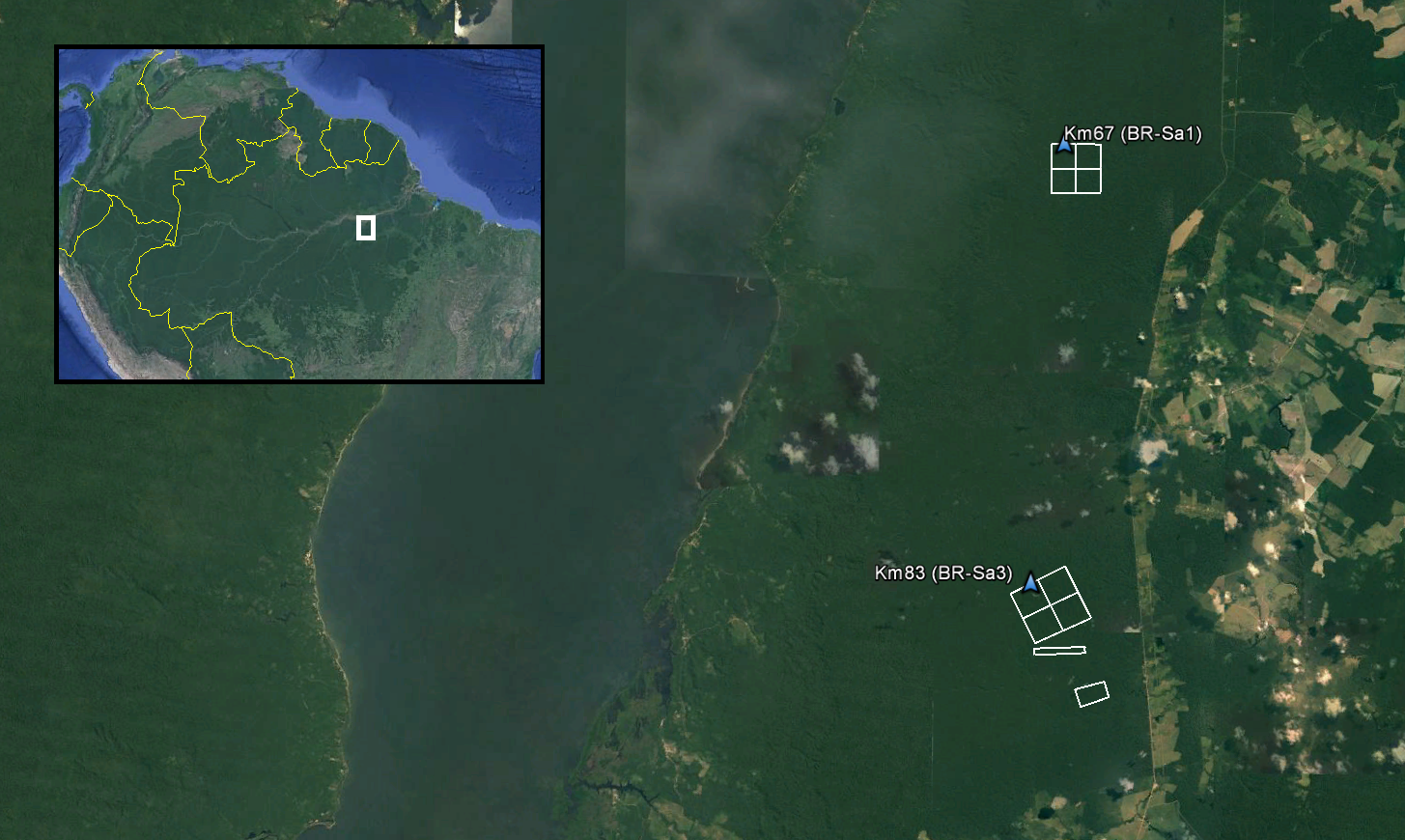
This data set provides LiDAR point clouds and digital terrain models (DTM) from surveys over the Tapajos National Forest in Belterra municipality, Para, Brazil during late June and early...
Source: LiDAR and DTM Data from Tapajos National Forest in Para, Brazil, 2008
There are no views created for this resource yet.
Additional Information
| Field | Value |
|---|---|
| Data last updated | August 21, 2025 |
| Metadata last updated | March 10, 2026 |
| Created | August 21, 2025 |
| Format | PNG |
| License | other-license-specified |
| Datastore active | False |
| Has views | False |
| Id | ee7b100f-39b1-48c8-8c39-70155be6340e |
| Mimetype | image/png |
| Package id | e390fc19-dc4e-44f3-b8e8-cae4f2e300c4 |
| Position | 3 |
| State | active |
| Tracking summary | {'total': 1, 'recent': 1} |