Unnamed resource
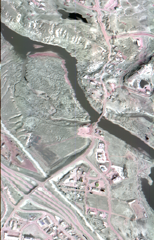
URL: https://daac.ornl.gov/HYTES/guides/HyTES_L1_Geolocation_Fig1.png
Dataset description:
This dataset contains Level 1 (L1) per-pixel geolocation information from the Hyperspectral Thermal Emission Spectrometer (HyTES) instrument. This is the NASA Earth Observing System Data...
Source: HyTES L1 Geolocation, Facility Instrument Collection
Additional Information
| Field | Value |
|---|---|
| Data last updated | August 10, 2026 |
| Metadata last updated | August 10, 2026 |
| Created | August 10, 2026 |
| Format | PNG |
| License | other-license-specified |
| Datastore active | False |
| Has views | True |
| Id | adf3a287-2c2f-4fb1-89e0-5bebc940012d |
| Mimetype | image/png |
| Package id | 24900c38-f638-4265-879b-a7d6bfc3171b |
| Position | 2 |
| State | active |
| Tracking summary | {'total': 0, 'recent': 0} |