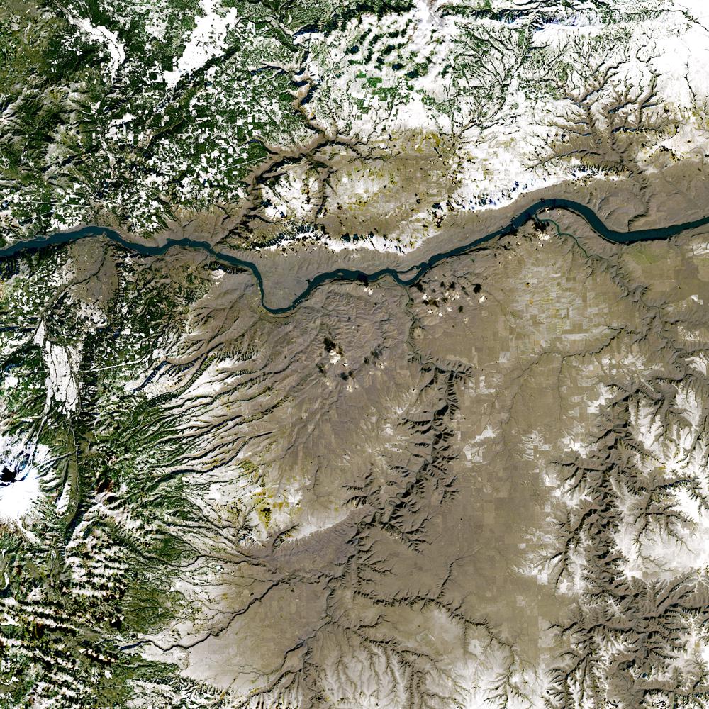
Unnamed resource
Dataset description:
The Harmonized Landsat and Sentinel-2 (HLS) project provides consistent data products from the Operational Land Imager (OLI) aboard the joint NASA/USGS Landsat 8 and Landsat 9 satellites...
Source: HLS Operational Land Imager Vegetation Indices Daily Global 30 m V2.0
There are no views created for this resource yet.
Additional Information
| Field | Value |
|---|---|
| Data last updated | August 21, 2025 |
| Metadata last updated | March 10, 2026 |
| Created | August 21, 2025 |
| Format | JPEG |
| License | other-license-specified |
| Datastore active | False |
| Has views | False |
| Id | 4eaa8ab6-a240-41ad-b8a6-a2a1cceb292f |
| Mimetype | image/jpeg |
| Package id | fd014c1d-734d-4408-8bee-b34beb675585 |
| Position | 4 |
| State | active |
| Tracking summary | {'total': 2, 'recent': 2} |