Unnamed resource
URL: http://planetarynames.wr.usgs.gov/images/moon_nearside.jpg
Dataset description:
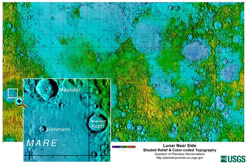
These lunar maps display the four different areas of the moon with color-coded topography in low and high resolution approved by the International Astronomical Union (IAU).
There are no views created for this resource yet.
Additional Information
| Field | Value |
|---|---|
| Data last updated | March 31, 2025 |
| Metadata last updated | March 31, 2025 |
| Created | March 31, 2025 |
| Format | image/jpg |
| License | License not specified |
| Datastore active | False |
| Has views | False |
| Id | 7f77ecec-f3d8-4e8f-bdc9-3b5695bfb97e |
| Mimetype | image/jpg |
| Package id | 76e911a9-a1cb-4112-acc5-794643bf58d3 |
| Position | 0 |
| State | active |
| Tracking summary | {'total': 14, 'recent': 1} |