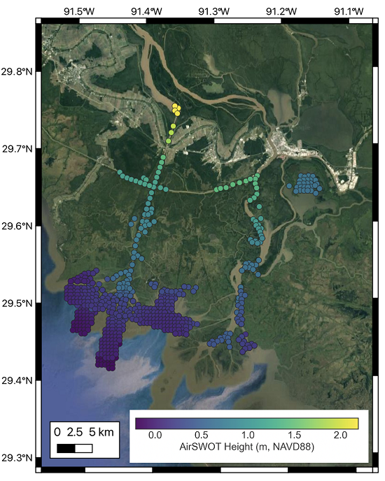
Unnamed resource
URL: https://daac.ornl.gov/DELTAX/guides/DeltaX_L3_AirSWOT_WaterElev_V2_Fig1.png
Dataset description:
This dataset contains water surface elevations at selected point locations generated from the AirSWOT data collected during the Spring and Fall 2021 Delta-X deployments over the...
Source: Delta-X: AirSWOT L3 Water Surface Elevations, MRD, Louisiana, 2021, Version 2
There are no views created for this resource yet.
Additional Information
| Field | Value |
|---|---|
| Data last updated | unknown |
| Metadata last updated | March 10, 2026 |
| Created | unknown |
| Format | PNG |
| License | other-license-specified |
| Created | 1 year ago |
| Media type | image/png |
| Datastore active | False |
| Has views | False |
| Id | 6797ea43-ed78-4ab8-9f9e-d93bb582943c |
| Package id | 12cddea2-13f5-4891-8269-c3d60480e98d |
| Position | 3 |
| State | active |
| Tracking summary | {'total': 0, 'recent': 0} |