Unnamed resource
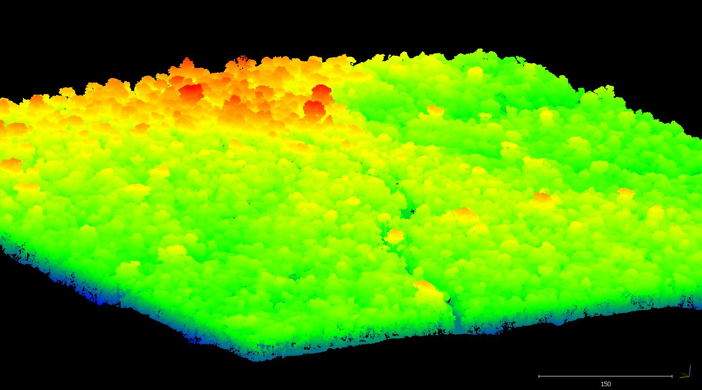
Dataset description:
This data set provides raw LiDAR point cloud data and derived Digital Terrain Models (DTMs) for five forested areas in the municipality of Paragominas, Para, Brazil, for the years 2012,...
Source: CMS: LiDAR Data for Forested Areas in Paragominas, Para, Brazil, 2012-2014
There are no views created for this resource yet.
Additional Information
| Field | Value |
|---|---|
| Data last updated | August 21, 2025 |
| Metadata last updated | March 10, 2026 |
| Created | August 21, 2025 |
| Format | JPEG |
| License | other-license-specified |
| Datastore active | False |
| Has views | False |
| Id | 2e8ff7a1-c0a4-49b6-b4f7-bcf9a8aededc |
| Mimetype | image/jpeg |
| Package id | 2e914d4b-1a3c-485c-8f26-d69215f7d452 |
| Position | 6 |
| State | active |
| Tracking summary | {'total': 0, 'recent': 0} |