Unnamed resource
URL: https://daac.ornl.gov/AVIRIS/guides/AV3_L2A_RFL_Fig1.jpg
Dataset description:
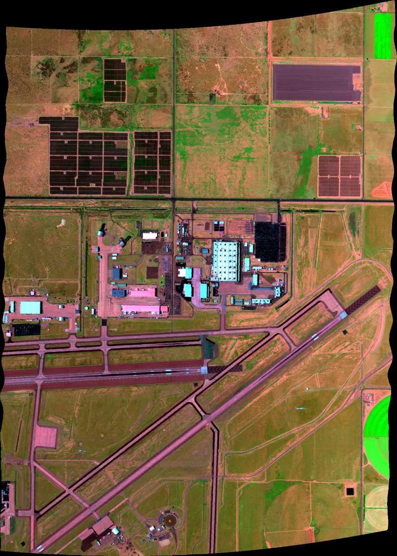
This dataset contains Level 2A (L2A) surface reflectance images from the Airborne Visible / Infrared Imaging Spectrometer-3 (AVIRIS-3) instrument. This is the NASA Earth Observing System...
Source: AVIRIS-3 L2A Orthocorrected Surface Reflectance, Facility Instrument Collection
There are no views created for this resource yet.
Additional Information
| Field | Value |
|---|---|
| Data last updated | August 21, 2025 |
| Metadata last updated | March 9, 2026 |
| Created | August 21, 2025 |
| Format | JPEG |
| License | other-license-specified |
| Datastore active | False |
| Has views | False |
| Id | 84476033-f6eb-4f5e-8a68-6a04b9f56f67 |
| Mimetype | image/jpeg |
| Package id | 8d619552-f106-48ad-9cd1-447d2412c41f |
| Position | 2 |
| State | active |
| Tracking summary | {'total': 0, 'recent': 0} |